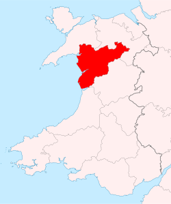
Merionethshire is bounded to the north by Caernarfonshire, to the east by Denbighshire, to the south by Montgomeryshire and Cardiganshire, and to the west by Cardigan Bay. With a total area of 1,731 km2 (668 sq miles), it is one of the most mountainous counties in Wales and one of the more sparsely populated counties in Great Britain. The county also remains one of the strongest Welsh-speaking regions in Wales.
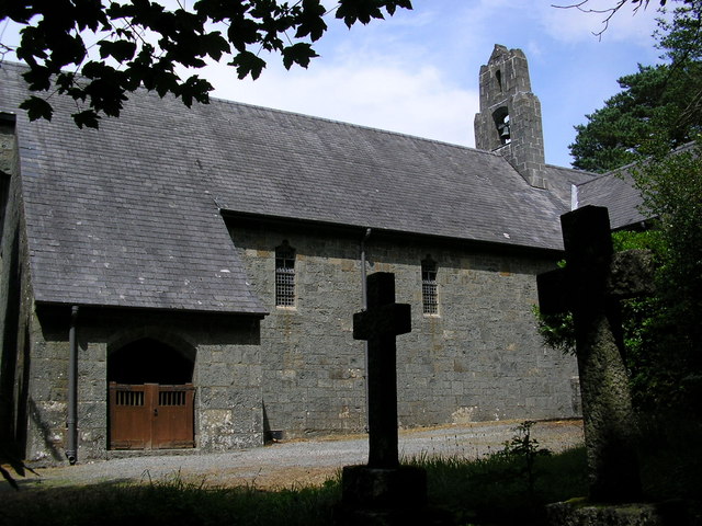
The Meirion Amateur Radio Society is located in the village of Brithdir, a small hamlet on the outskirts of Dolgellau, Gwynedd in the community of Brithdir and Llanfachreth. Located in the village you will find the beautiful St Mark’s church which is particularly important for the boldness of its architecture and the wonderfully naturalistic detail of its fittings.
The highest point of the county is Aran Fawddwy near the village of Dinas Mawddwy at 905 m (2,970 ft).
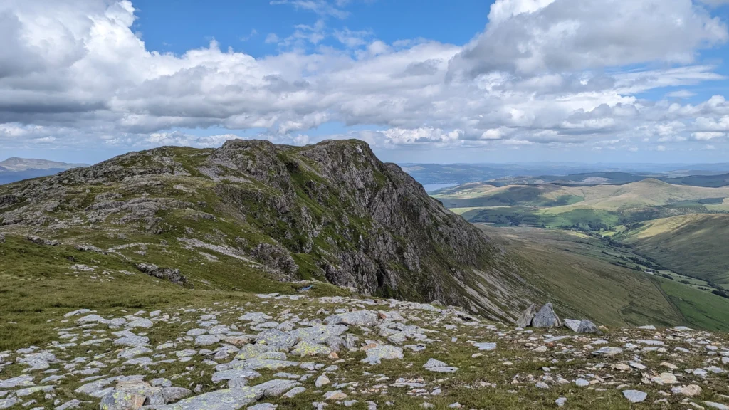
However, the mountain of Cadair Idris 893 m (2,929 ft) to the south of Dolgellau is better known and hugely popular with hillwalkers.
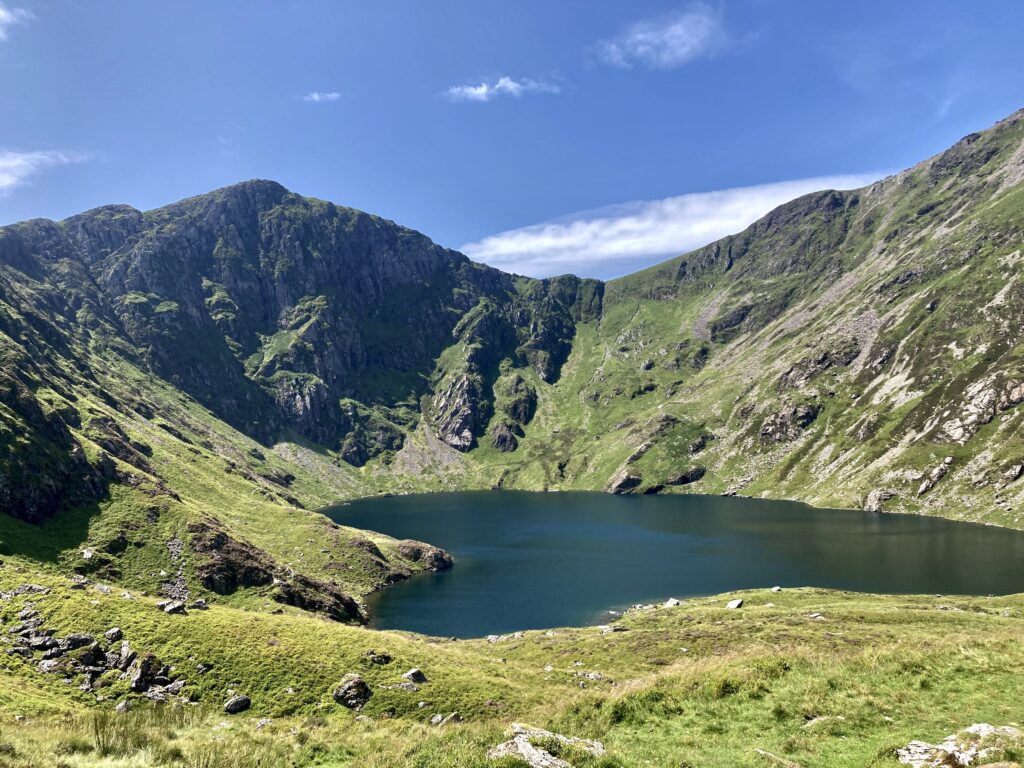
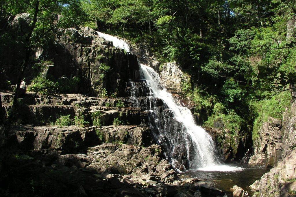
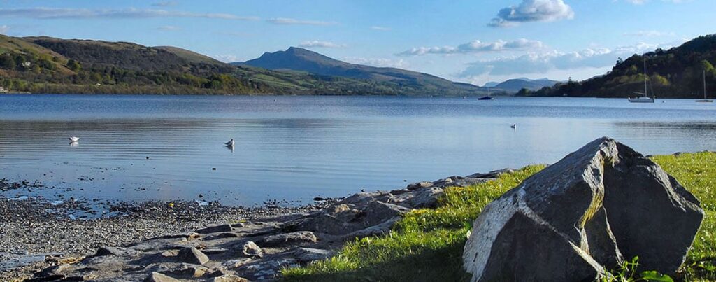
Waterfalls such as Pistyll Cain and small lakes are numerous, the largest being Bala Lake (4 miles (6.4 km) long and 1 mile (1.6 km) broad).
To find out more about not only Merionethshire but our beautiful country of Wales why not visit https://www.visitwales.com